- NOW GOING ON BY 3DGIRG: We've
received 400+ submission from more than 50 countries:
The International Conference on Smart Cities & Applications (SCA'26) is a premier multidisciplinary forum organized by Karabük University and the Mediterranean Association of Sciences and Sustainable Development (Medi-ASD). This edition brings together academia, industry and policy-makers at the Karabük University in Karabük, Türkiye, on November 10–12, 2026. https://sca26.medi-asd.org/
- The Sixth Smart City Applications International Conference (SCA 2021)
has been held by 3DGIRGroup virtually on 27-29 October 2021, Safranbolu, Turkey. It
brought together researchers and engineers to exchange novel ideas in smart
city fields.
- The Fifth International Conference on Smart City Applications (SCA 2020)
has been held by 3DGIRGroup as a virtual event on 7-9 October 2020. The conference covered
multidisciplinary topics related to smart cities and geo-smart information
systems.
- 4th International Conference on
Geoinformation Science:
GeoAdvances 2017 (ISPRS Workshop on
Multi-dimensional & Multi-scale Spatial Data Modeling)
has been held by 3DGIRGroup in Safranbolu, on 14-15
October 2017. From 17 different countries (Italy,
Australia, Morocco, Spain, India, Malaysia, etc), more
than 130 papers has been presented in the conference.
This is the greatest international participant number
in the history of Karabuk University. The papers have been
published on
ISPRS Annals and
ISPRS Archives. Click for the
photos
and
videos.
- As 3DGIRG, we have organized Turkish-German 3D Spatial Information Technologies Workshop. It has been held in Safranbolu, from 13 to 14 December 2014. Please click here for detailed information. And click here for the photos.
Terms of References:
- Promote the research on the development of 3D Geo-Informatics applications.
- Promote the research on the development of multi-dimensional GIS (e.g. true 3-Dimensional GIS).
- Promote the research on various aspects of 3D Geo-Informatics applications, especially the theory, algorithms, and database.
- Develop methodology for 3D GIS and multidimensional GIS data processing, spatial and analytical operations, and data management.
- Develop methodology and algorithms for dynamic operations in 3D Geo-Informatics applications.
- Promote research on the design and development of databases for dynamic and multi-dimensional GIS.
- Promote the applications of dynamic and multi-dimensional GIS.
- Promote the research on mobile data model and the related scientific techniques and algorithms.
- Promote and collaborate with 3D Location-based Services (LBS) community.
- Enhance the collaboration with the communities of “Spatial Data Handling” and “Computational Geometry”.
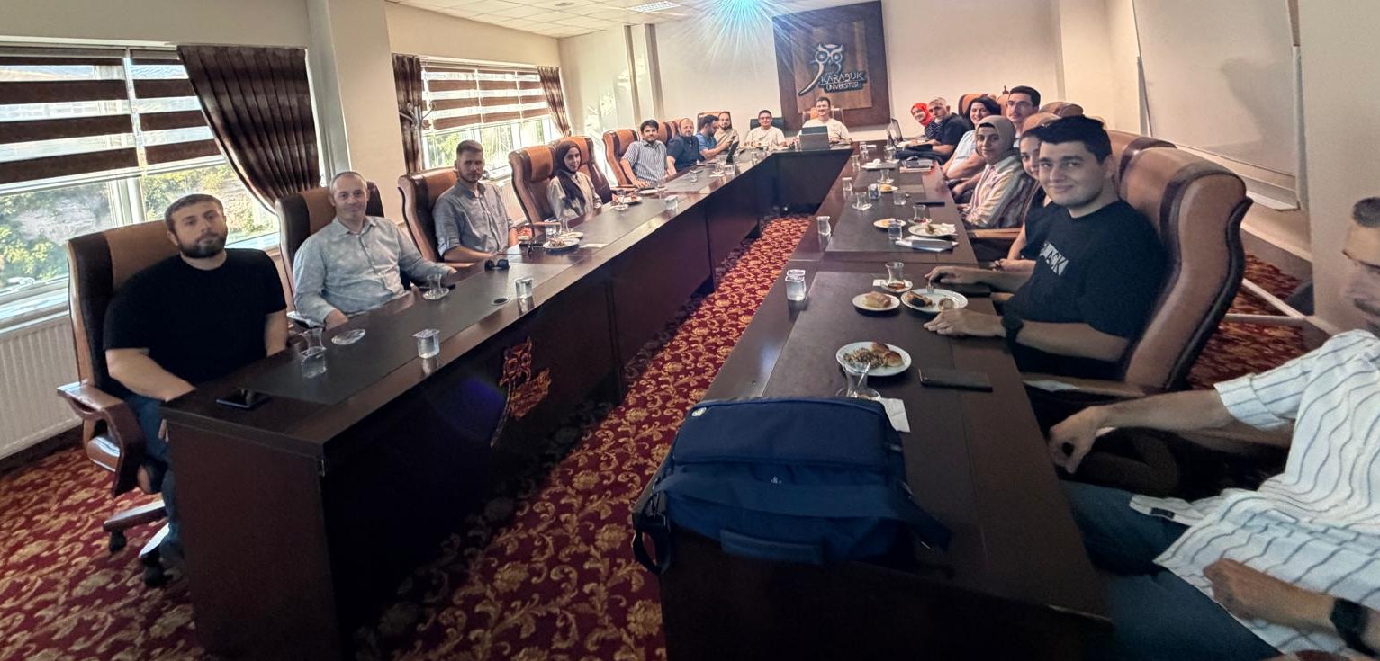
3D Geo-Informatics Research Group (3DGIRG) in one of the weekly meeting