The GeoAdvances 2017 conference has been successfully held in Safranbolu. From 17 different countries (Italy, Australia, Morocco, Spain, India, Malaysia, etc), more than 130 papers has been presented in the conference. This is the greatest international participant number in the history of Karabuk University. Pictures and Videos from the event are released.
The papers presented in GeoAdvances 2017 have been published on ISPRS Annals and ISPRS Archives listed in the ISI Conference Proceedings Citation Index (CPCI) of the Web of Science, SCOPUS, the E/I Compendex,and the Directory of Open Access Journals (DOAJ) indexes.
This year we
would like to welcome you at Karabuk University (KBU) for;
4th International Workshop on Geoinformation Science:
GeoAdvances 2017
(ISPRS Workshop on Multi-dimensional &
Multi-scale Spatial Data Modeling)
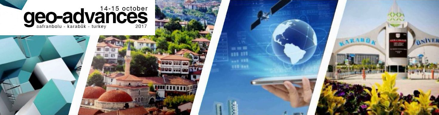
The workshop will take place on 14-15 October 2017
at the branch campus of KBU in a UNESCO World Heritage City;
SAFRANBOLU
The topics of the
workshop cover major Geoinformation Science
including
(but are not limited to):
-
GIS, Geo-Informatics, Geographical Information Systems, 2D/3D GIS, 2D/3D City Modeling, 3D Generalization, 3D Geo visualization, Spatial Data Infrastructure (SDI), Open Source GIS, Web GIS, Crowdsourcing and Volunteered Geographic Information (VGI), Disaster Management, Dynamic GIS, Decision Support Systems. Modern (3D/4D) Cadastre, GIS in Civil Engineering, Urban Planning, Architecture, Geology, Forestry, and Environment, etc.
-
Multi-dimensional & Multi-scale Spatial Data Modeling, Spatial Data and Model Quality, Spatial Database, Data Infrastructure & Integration, Data Acquisition and Processing, Spatial Reasoning and Spatial Data Mining, Interoperability, Geostatistics, Computer Graphics and Cloud Computing For Spatial Data and Information
-
Location Based Services, Outdoor and indoor positioning, wayfinding and navigation, Smartphone-based positioning, Smart environments and Ambient Spatial Intelligence, Location-based social networks, Geotagged big data, 3D and Augmented Reality, Transportation Applications, Building Information Modeling (BIM)
-
Geomatics, GPS, GNSS, Engineering Surveying, Industrial Surveying, Deformation Surveys
-
Remote Sensing, Pattern and Image Processing, Oceanography, Meteorology RS, RADAR, Hyperspectral RS, etc
-
Photogrammetry, Terrestrial and Airborne Laser Scanning, Close-Range, Unmanned Aerial Vehicle (UAV), Sensor Calibration and Integration, Sensor Modelling, Texture Mapping, Mobile Mapping
-
Internet of Things technologies, GeoInformation for Mobile, Wearable Tecnologies and Wireless Sensor Networks
All submitted manuscripts will be subject to the blind peer review process. Accepted full papers will be published in the ISPRS Annals and short papers (extended abstracts) in the ISPRS Archives (Both are SCOPUS, ISI-CPCI, and DOAJ indexed). All will be presented as oral in the event, there will no poster session. The selective outstanding papers presented at the workshop, after further revision, will be considered for publication in JESTECH journal by ELSEVIER.
Important dates
Full paper / Short paper (Extended abstract) submission: 05 August 2017
15 July 2017Notification of acceptance: 25 August 2017
15 August 2017Camera ready paper submission: 15 September 2017
Workshop: 14-15 October 2017